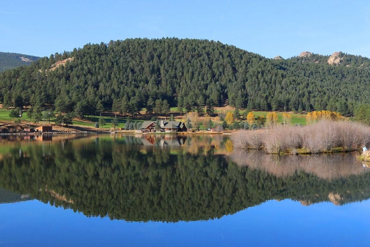
Are you planning on visiting Evergreen Colorado any time soon? In that case, here are some of the things you might enjoy in the area: 1. Go Down to the...
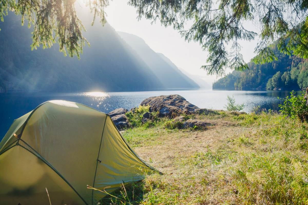
Dispersed Camping in Colorado
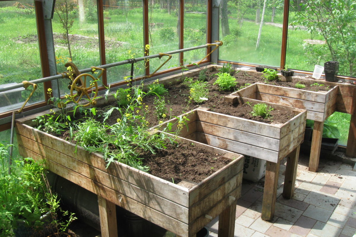
Colorado's well-established campgrounds are ideal for families with young children and anybody else searching for...
Discover Dillon District
Best Camping

Best Trails & Hikes
Dillon Reservoirs Best Hikes, Rides, & Camping
Dillon Reservoir is situated in the middle of the Tenmile Range, the Front Range and the Gore Range in Summit County. It sits at a 9,000 elevation and is considered among the most active leisure sites of Central Colorado.
The Blue River’s natural flow was cut off because of the Dillon Dam construction which was part of the Thompson Project. As a result, the Dillon Reservoir was created to provide Denver’s water supply, creating one of the most exciting recreational locations in the Rocky Mountains area.
...
11 Stellar Hiking Trails near Silverthorne
Silverthorne is an alpine town surrounded by evergreen trees and beautiful mountain magnificence. While many mountain communities are close to beautiful treks, Silverthorne is surrounded by many excellent routes.
Here are 11 hiking trails near Silverthorne that are worth checking out:
1. North rock creek trail
This path is around eight miles ...
Lake Dillon Camping: Campgrounds and Facts You Need to Know
Lake Dillon is one of the outstanding locations in Dillon town that offers exciting features for visitors. Also known as Dillon Reservoir, Lake Dillon is the right landscape for recreational activities such as boating, fishing, hiking, camping, kayaking, paddle boarding, and others. Lake Dillon camping is an experience, mainly during the summer season, from May to the early weeks of October. All you need to bring is your camping supplies, like a good tent, a solar-powered radio, clothing, sleeping bags, camp chairs, solar panels or a portable generator...